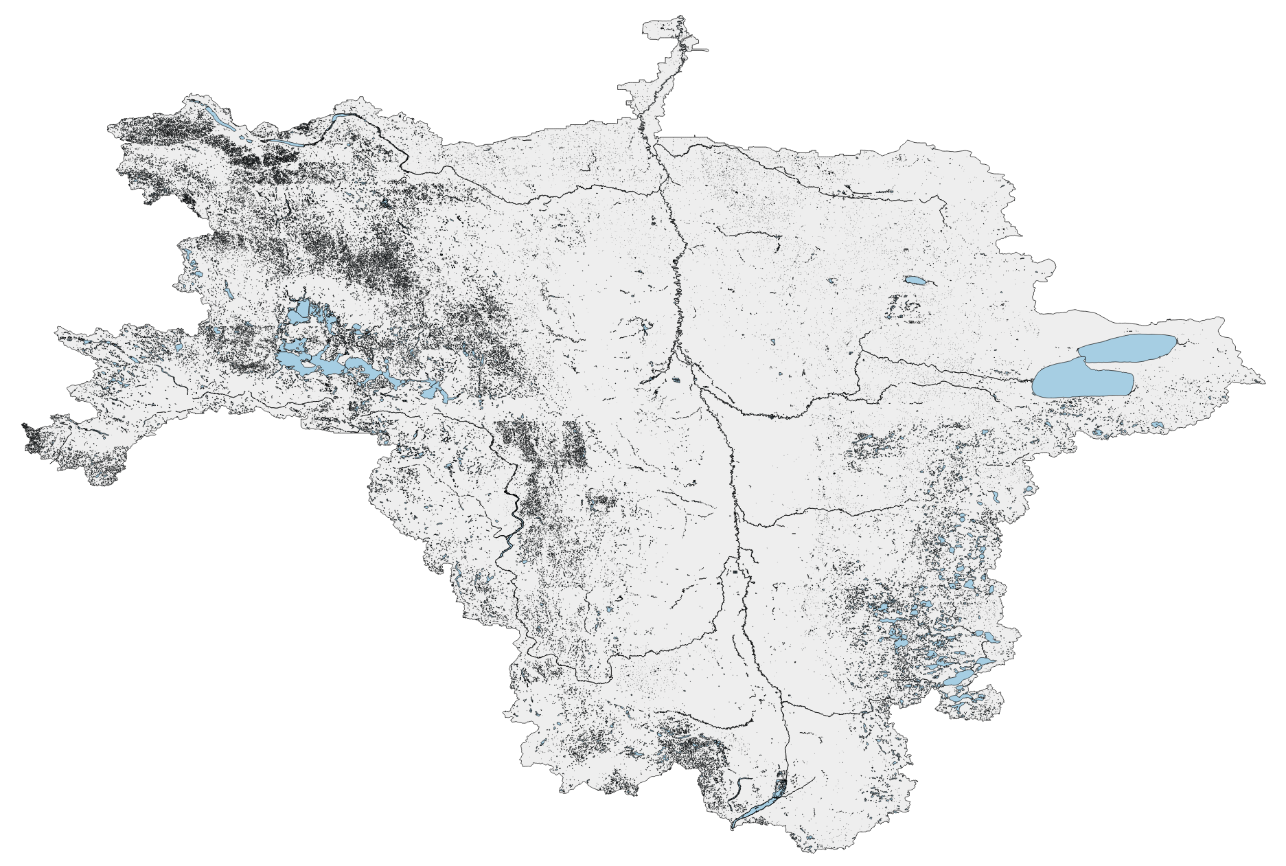
River Basin Shapefiles WBD / NHD
- Red River subregion
Red River (HUC4 0902) boundary shp [1 MB, zip]

- Connecticut subregion
Connecticut (HUC4 0108) boundary shp [650 kb, zip]

- Wabash subregion
Wabash (HUC4 0512) boundary shp [440 kb MB, zip]

- Great Lakes region
- USGS map outdated

- Great Lakes / Mid-Atlantic region 1x1 (WBD)

- Great Lakes / Mid-Atlantic region boundary (USGS, outdated)

- Great Lakes / Mid-Atlantic region boundary (WBD)

- Upper Mississippi region
Upper Mississippi (HUC2 07) boundary shp [1.8 MB, zip]

- Chesapeake subregions
Mid Atlantic region subset (HUC4 0205, 0206, 0207, 0208) boundary shp [710 kb, zip]

- Chesapeake (Gina AMS)


