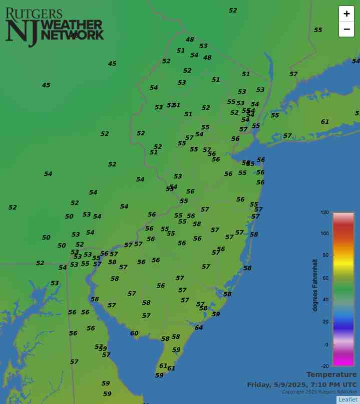
Latest temperatures across NJ appear in the above map. Click on the map or here, the Rutgers New Jersey Weather Network, for much more information.
Interested in becoming a volunteer weather observer? Click here to learn more about the CoCoRaHS Network!

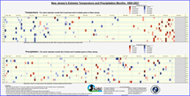
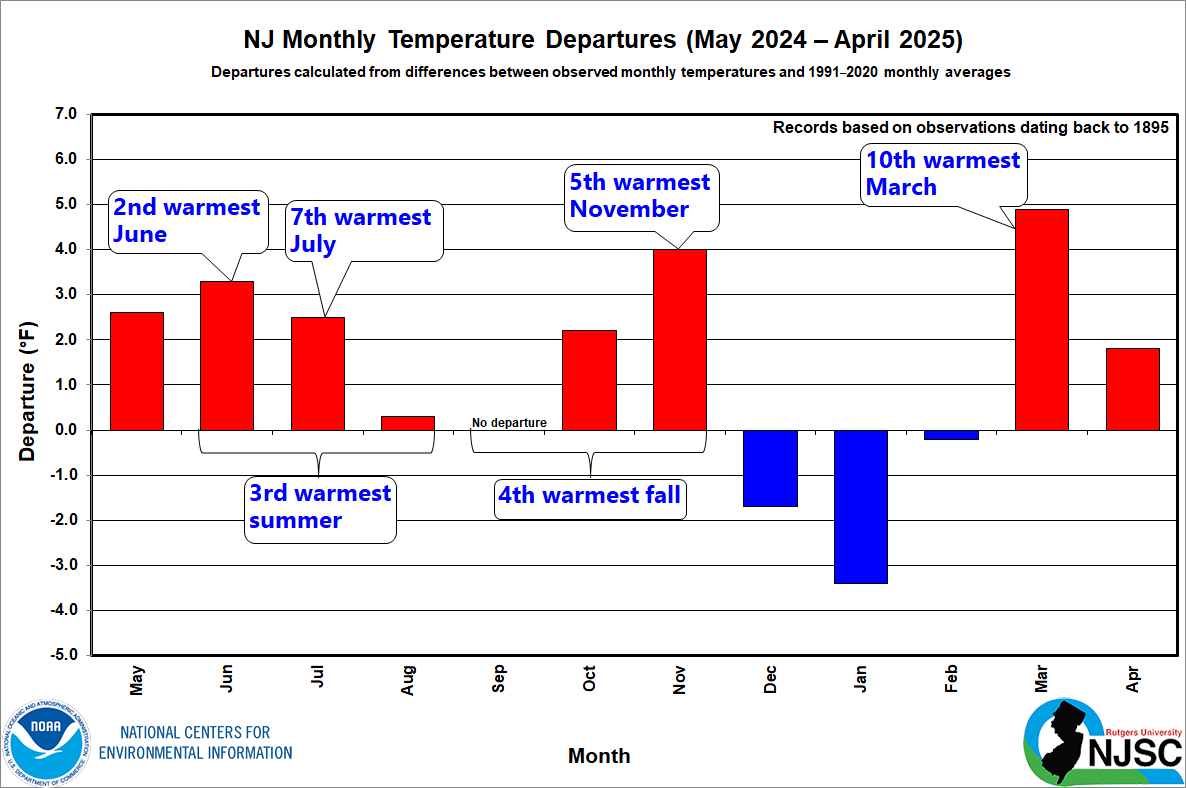
NJ Precipitation and Temperature departures
over the past 12 months

June 5, 2025
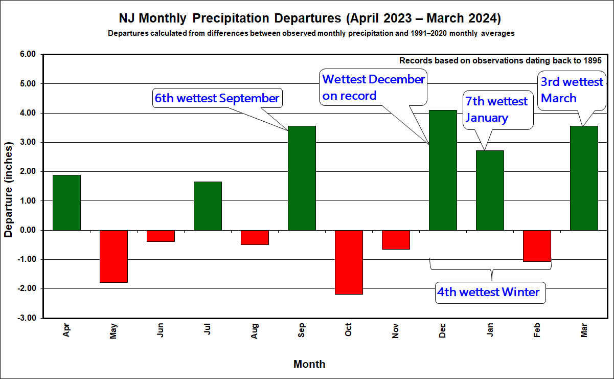
It took a frustratingly long time for the cool season “recharge” of New Jersey’s water resources to get well underway. Following a record dry fall 2024, December through April precipitation remained below normal, including the third driest January of the past 131 years. However, February, March, and April precipitation totals were only a bit below normal, so while precipitation deficits were not recovering, they did not worsen, and reservoirs began to fill. Then along came May, with near record-high precipitation; just in time to bring most water resources up to normal heading into summer. Yes, quite a relief! The only cautionary note regards groundwater deficits that remain at some locations in the sandy substrate of south Jersey. This impacts local streamflow as well once runoff from any recent rains has diminished, leaving the streams fed by depleted spring waters. Thus, the NJ Department of Environmental Protection has not lifted the drought warning that was established in mid-November 2024.
As for May, the statewide average precipitation was 7.27”. This was 3.52” above the 1991–2020 normal and ranks as the 5th wettest May since statewide records became established in 1895. It is the wettest May since 1990, and the fifth May this century to fall into the top 25 (three have been in the driest 25).
May temperatures exhibited some notable swings, with the end of the month’s below-normal conditions just about balancing out the above-normal start. The statewide average of 62.0° was 0.8° above normal and ranks as the 30th mildest of the past 131 years. The statewide average high temperature was 71.5°, which was 0.8° below normal and ranked as the 65th warmest/66th coolest on record. Meanwhile, the 52.5° average low was 2.3° above normal, ranking as the 12th mildest. This sign disparity is the result of the frequent cloudy and wet conditions that suppressed both daytime warmth and nighttime cooling.
More...
Past News Stories