Latest temperatures across NJ appear in the above map. Click on the map or here, the Rutgers New Jersey Weather Network, for much more information.
Interested in becoming a volunteer weather observer? Click here to learn more about the CoCoRaHS Network!


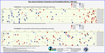
NJ Precipitation and Temperature departures
over the past 12 months
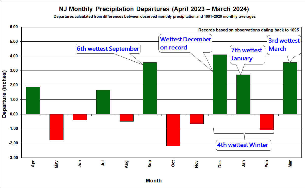
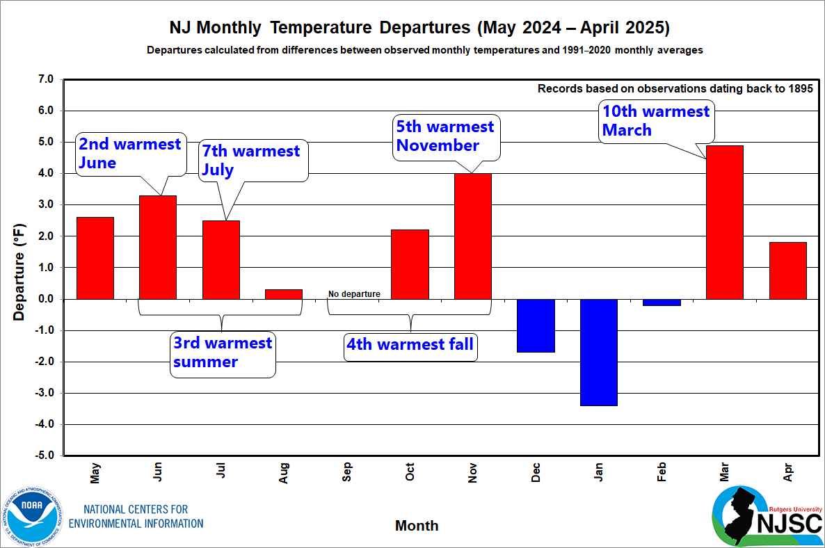
Plus First Half of 2025 Review
July 7, 2025
Looking back at the past month, or the first half of this year for that matter, “mysterious,” “puzzling,” or “difficult to understand” may best describe what has transpired when it comes to New Jersey’s weather and climate behavior. In other words, enigmas. More on the previous six months toward the end of this report. First a look at June, which followed a drought-busting (and hopefully not just interrupting) 7th wettest May, but resumed an only twice-broken string of months with below-normal precipitation back to May 2024 (August 2024 and May 2025). Then there were cool days that had some wondering when summer would ever arrive. That was answered with a vengeance later in the month with one of the more torrid June heatwaves on record. The worst of it ended by an unseasonable backdoor cold front.
When all was said and done, the statewide average temperature of 71.9° was 1.6° above the 1991–2020 normal. This ties with 2011 as the 9th warmest June since records commenced in 1895. Eight of the fifteen warmest Junes of the past 131 have occurred since 2005. The average high of 81.5° was 0.5° above normal and ranks 32nd warmest. The average low of 62.2° was 2.6° above normal and ranks 3rd warmest.
Rainfall was quite sparse, especially in the south. Statewide, precipitation averaged 2.64”. This was 1.66” below normal and ranks as the 25th driest June on record. This was the fourth June this century to rank so dry. While these low totals are concerning, especially in a hot summer month, the near-average rains of early spring and the wet May led the NJ Department of Environmental Protection to lift the statewide Drought Warning issued in November 2024, only retaining a Drought Watch in the Coastal South division. This retention was the result of continuing below-normal groundwater levels in this region with its sandy substrate.
More...
Past News Stories